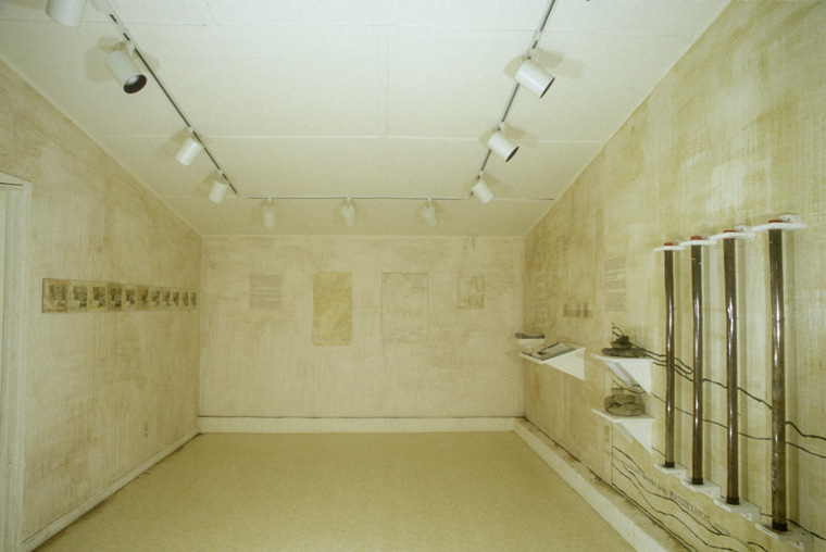


Gallery installation: walls painted with found local earth pigments, indigenous materials and texts about the site.
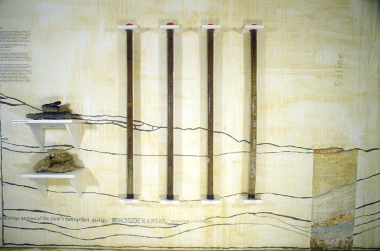
Installation detail geology diagram drawn on wall, with stone, core samples and text, found local pigments.
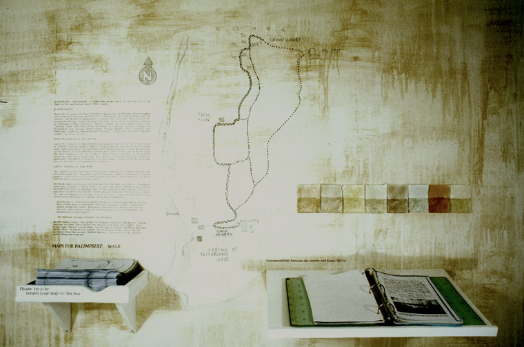
Installation detail, with printed site map/guides, wall map, pigment swatches and complete information guide to the interns' research.
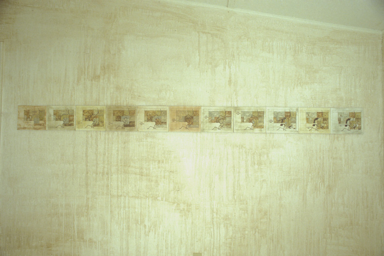
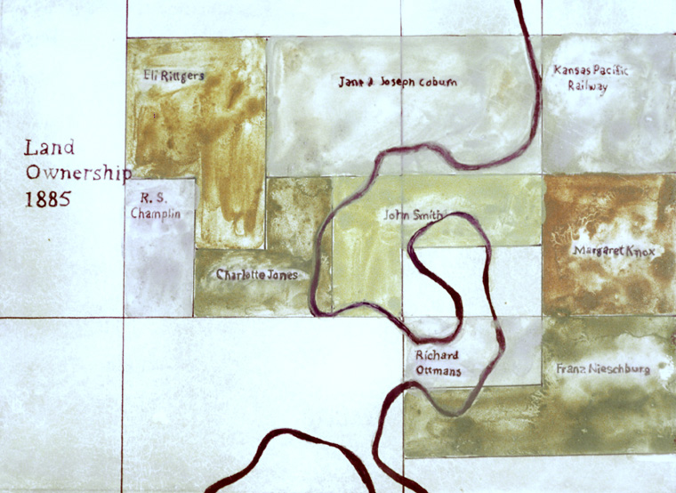
Installation detail, Census maps drawn with soil collected on site, land ownership 1875-present, 8 x 10" each on "Clayboard".
Detail, map of land ownership 1885, drawn with soil collected on site, 8 x 10" on "Clayboard".
Detail, map of land ownership 1945, drawn with soil collected on site, 8 x 10" on "Clayboard".
Detail, map of land ownership 1996, drawn with soil collected on site, 8 x 10" on "Clayboard".
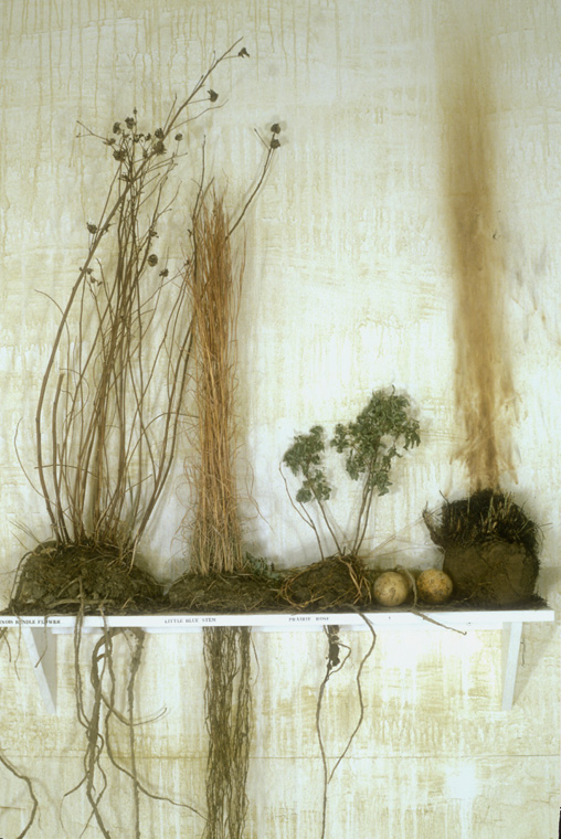
Installation of prairie plants, above and underground (L) and of native plants with medicinal uses by the American Indians (R), with map and text concerning tribes that previously lived on the landscape around Salina, KS.
Detail of prairie plants, above ground and underground, with "roots" constructed by the artist using string, glue, natural latex rubber, soil, one sample burned to demonstrate prairie fires still used to control growth.
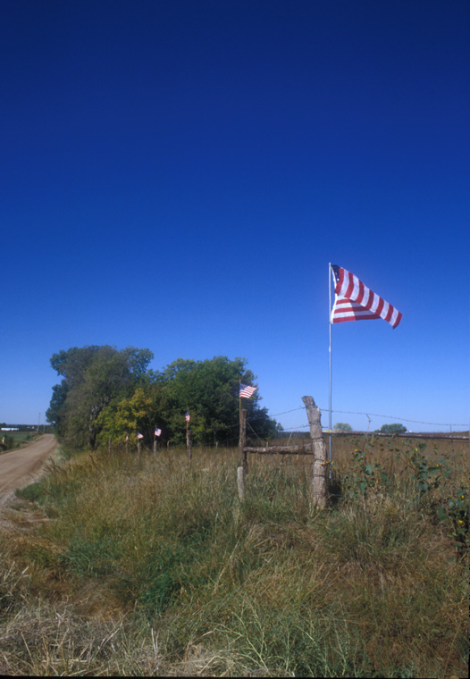
Flags, 24' T on fence rows, one mile x one mile.
Dug earth and flags, 5 x 5 x 2'.
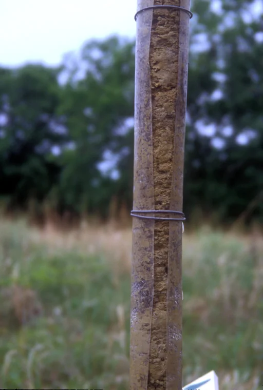
Trail Marker/ Earth Core Sample extracted from exact site it marks, 4' x 2" diameter.
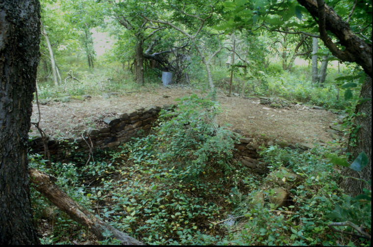
Cleared remains of drystone farmhouse cellar, with shelf containing hand and electric appliances, blender, electric mixer, electric can opener, whisk, grater, potato smasher and hand crank can opener.
info
/
1
2
3
4
5
6
7
8
9
10
11
12
13
·
·
·
·
·
·
·
·
·
·
·
·
·